
Ox Stones - Peak District Walk
Friday 20th March 2009
The first walk of the year in a short sleeve T-shirt seems to signal that spring is here at last. I set out planning to reverse a route I did about 18 months ago but then I discovered a concessionary path across Rud Hill, which isn't marked on the map and saved me having to walk along the road. I set out later than usual as I was hoping the haze might lift during the day, but it didn't, so there are no good distant views and by the end of the walk the sun was also affecting the shots, but it was great to be out walking again.
Start: Hollin Bank car park (SK 2374 8381)
Route: Hollin Bank car park - Stanage Edge - Stanedge Pole - White Stones - Ox Stones (TP) - Houndkirk Road - Burbage Rocks - Cowper Stones (TP) - Stanage Edge - Stanage Plantation - Hollin Bank car park
Distance: 9.5 miles Ascent: 422 metres Time Taken: 4 hours 30 mins
Terrain: Easy to follow paths, boggy across the moorland.
Weather: Warm and sunny, with a blue sky.
Pub Visited: None Ale Drunk: None
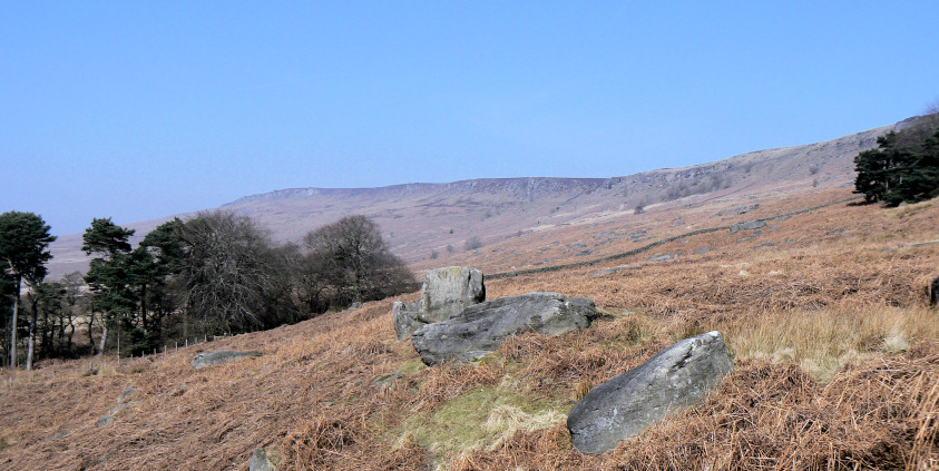
Looking along the section of Stanage Edge I wouldn't walk along today.
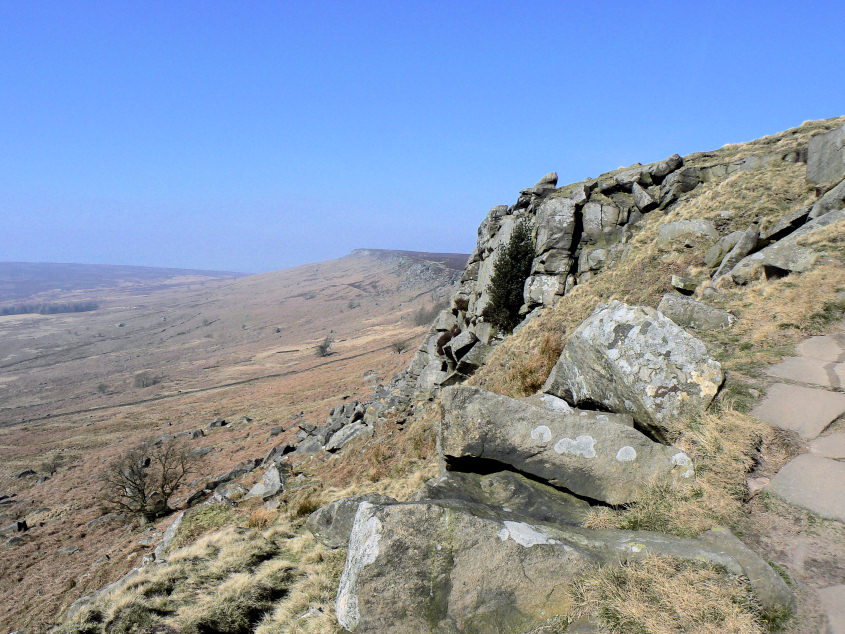
High Neb in the distance.
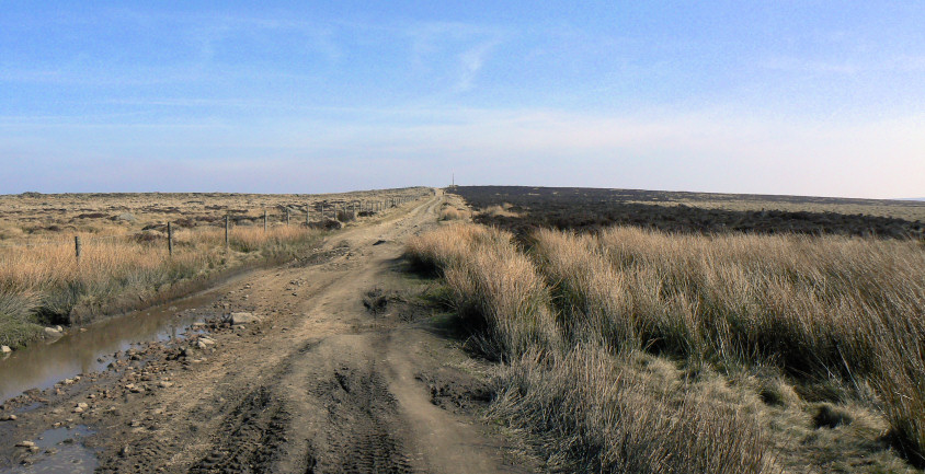
Following the clear track to Stanedge Pole.
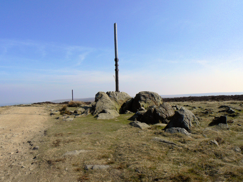
Stanedge Pole.
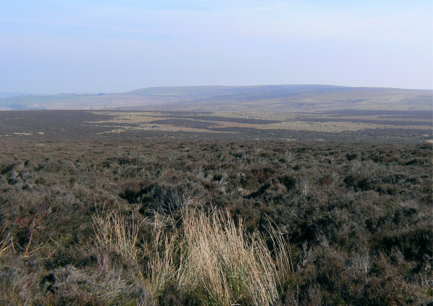
Looking across to White Stones from Stanedge Pole.
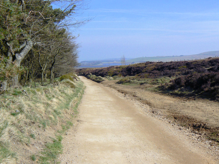
Two of the three Redmires Reservoirs come into view.
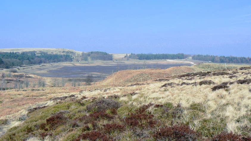
One of the reservoirs is completely empty and judging by the yellow vehicles I could see they are working on it.
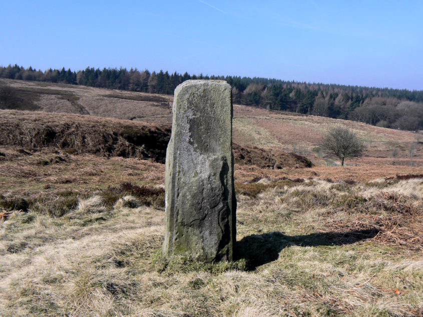
A boundary stone on route to White Stones.
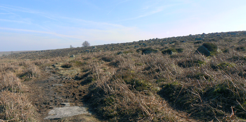
White Stones is simply a large scattering of boulders on the hillside.
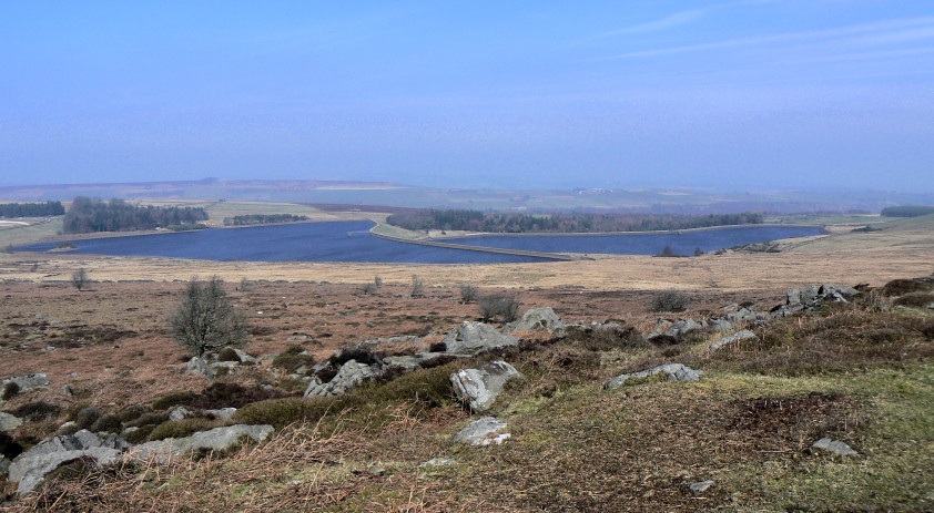
Looking down on Redmires Reservoirs from White Stones.
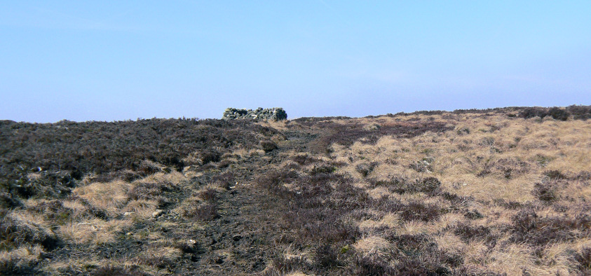
Following the clear path to the shelter on Rud Hill. It's not on the map but the shelter and clear path suggests it's been in use for some time.
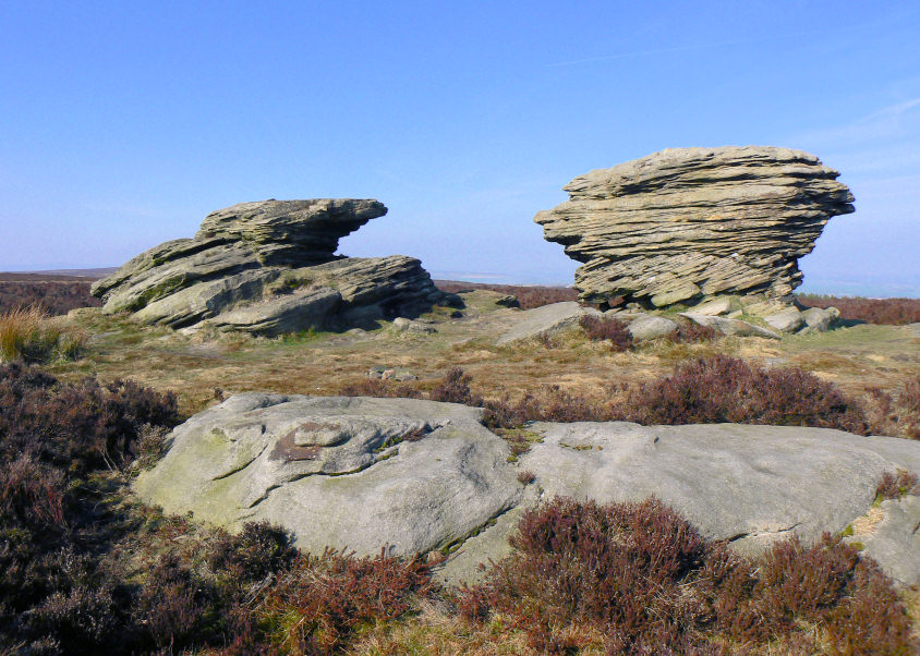
Ox Stones.
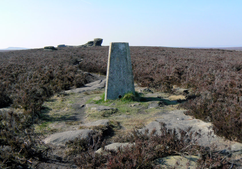
Looking back to Ox Stones form the trig point.
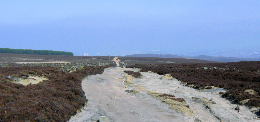
Sheffield is nearly lost in the haze as I look back along the sandy Houndkirk Road.
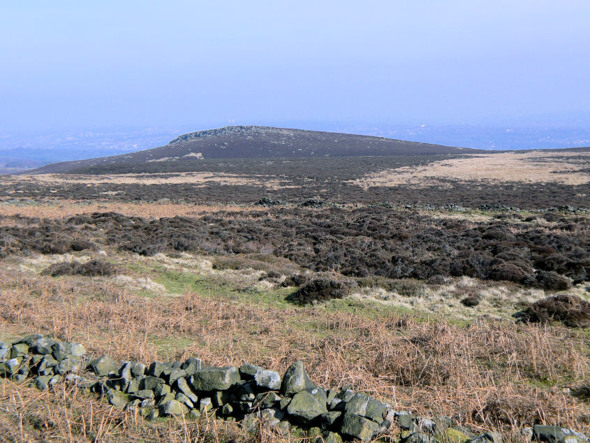
Houndkirk Hill.
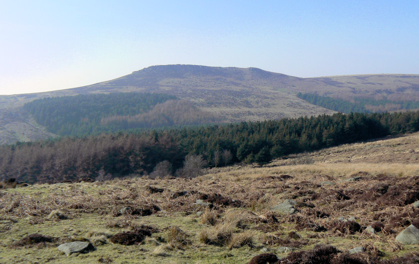
Higger Tor, I was tempted to extend the walk to include it but I needed to be home by 5:00 and I didn't have enough time available.
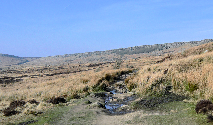
Instead I took the path below Burbage Rocks, which was a first for me. I usually opt to walk along the top.
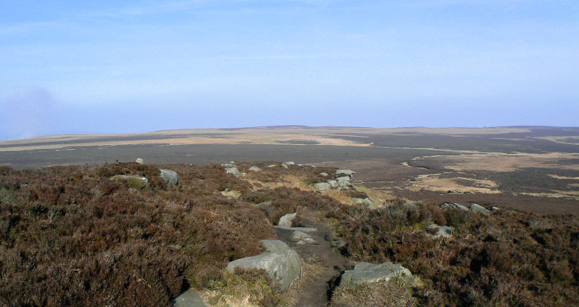
Looking back across the moor from Cowper Stone to Rud Hill (C) and Ox Stones which are just about visible on the right.
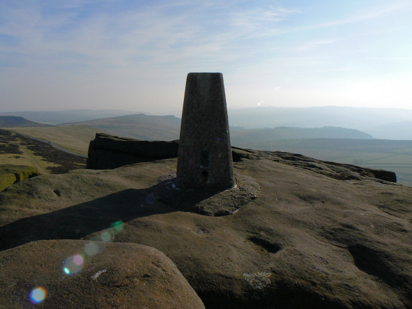
Stanage Edge trig, taken into the sunlight.
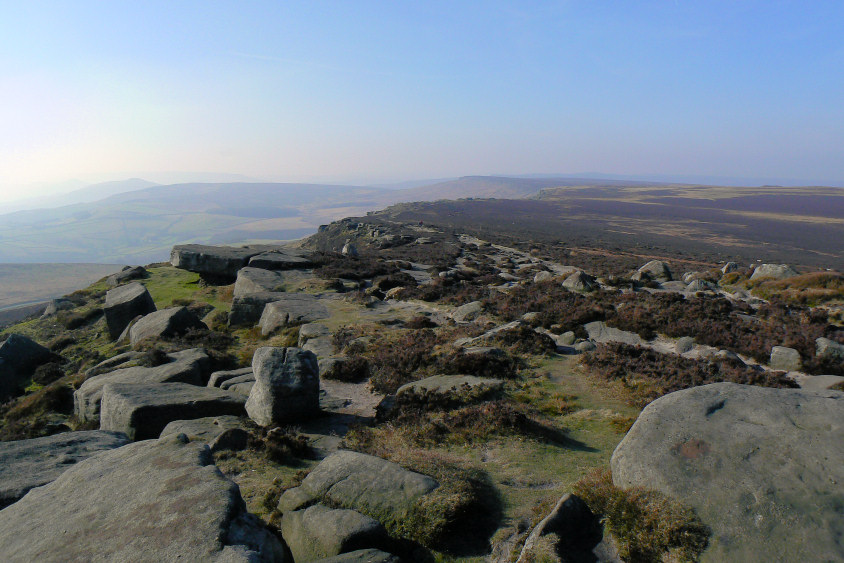
Looking along Stanage Edge from Cowper Stone. Win Hill is just about visible to the left of the shot.
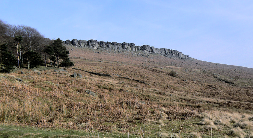
Looking back to Stanage Edge from the car park.
All pictures copyright © Peak Walker 2006-2023